-
Mapping 1696: Cromars and Robbs in the Poll Book

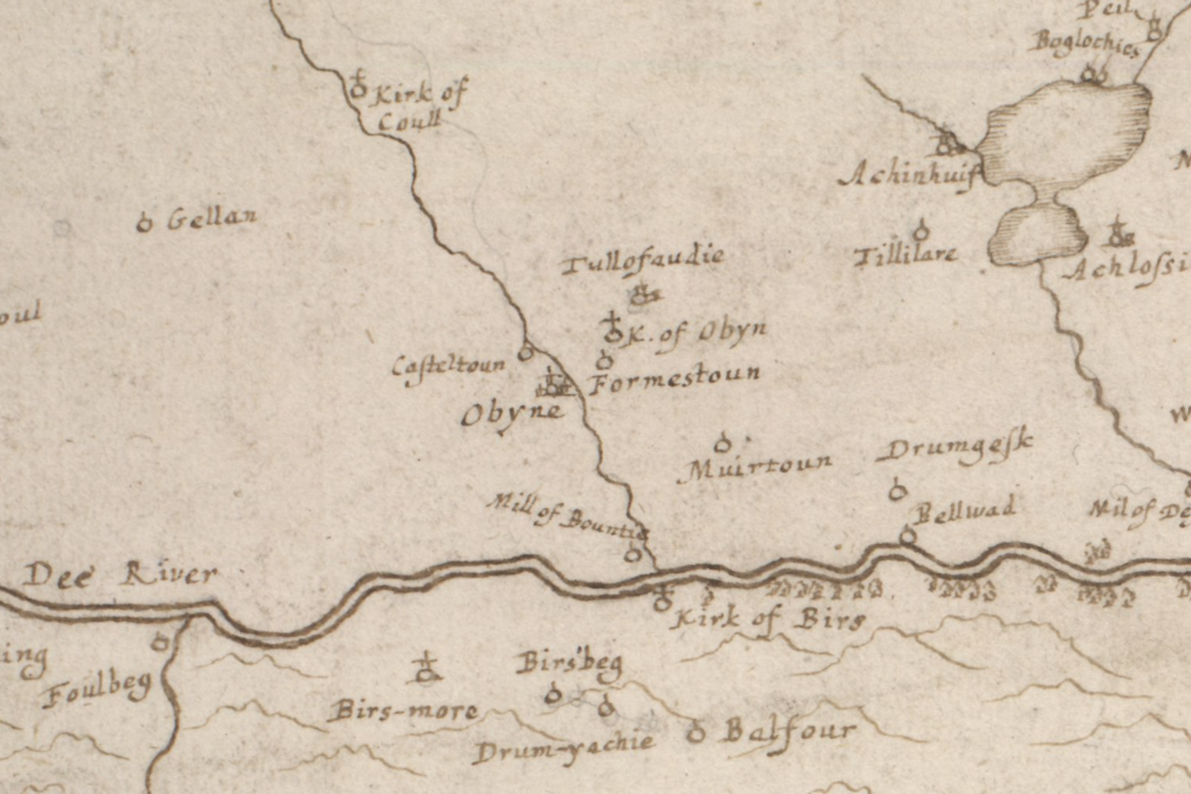
Of all the maps I’ve researched, this one expresses the least ambiguous geographic relationship between Aboyne, Formaston, and Kirkton of Aboyne, with the Tarland Burn clearly running between Aboyne and Formaston. This informs my theoretical distinction and placement on an evolving new map of the Aberdeenshire Poll Book. Mapmaker: Gordon, Robert, 1580-1661 Title: The draught of the…
-
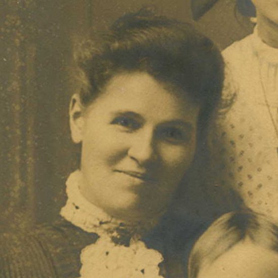
Christiana Berry Robb 1867-1960

Lumphanan The Howe of Cromar is a quite distinct oval, but other districts of Mar are less geographically distinguishable. From west to east, these include Braemar, Cromar, Midmar, and “Mar the most easterly portion.” On the heat map of Cromar-Robb habitation in Aberdeenshire, no place is more active than the village of Lumphanan and environs.…


